Monte Baldo Hiking
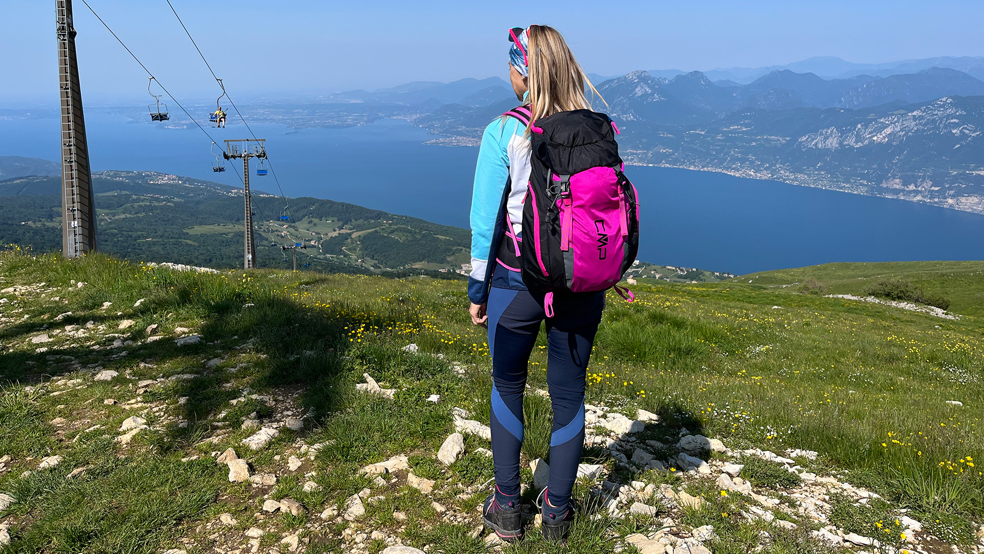
Once up at altitude, numerous trails of varying levels of difficulty start from the middle station and the chairlift arrival station, ranging from family walks to more challenging trekking routes.
Below are some trekking routes. During your activities, we remind you to respect the 10 good practices.
2/5
Level of difficulty
50 m
Height difference in ascent
600 m
Height difference in descent
4.8 km
Length
2.5 hours
Estimated duration
Description
A very scenic hike and all downhill, departing from the middle station (at Mondini-Turri Refuge/Rifugio Mondini-Turri) and offering lots of scenic views over the southern part of Lake Garda. From Rifugio Mondini-Turri, you follow path 51 to the traditional Malga Ortigara. From here, take the forest track that passes below the cabin and soon after turn right onto path 655. Return along the Val da Sacco under the shade of the magnificent beech trees, until you get to Prada and the car park for the ski lift.
The beechwood that you walk through is the largest in the whole Monte Baldo area, and the hike offers not only stunning views, but also glimpses into a past featuring mountain huts and shepherds.
Recommended and important equipment: hiking boots or good hiking shoes; layers of mountain clothing; also bring a hat or cap, sunglasses and sunscreen.
It is essential to bring water and snacks, as there are no refreshment points along the way.
The route can only be covered on foot, it is not suitable for pushchairs or other vehicles.
2/5
Level of difficulty
260 m
Height difference in ascent
260 m
Height difference in descent
3.1 km
Length
1.5 hours
Estimated duration
Description
Hike to the first summit on the southern side of Monte Baldo, which is above 2000 m and offers a stunning view over the entire south of Lake Garda. From the top, it is easy to identify the peaks on the horizon, by consulting the indicators at the observatory built in memory of Luca Avesani and Cristina Sandri. Start from the upper chairlift station and follow the track up towards Rifugio Telegrafo until you get to Coal Santo (about 40 minutes' walk along path 658). From here, turn south and follow the trail that goes up to Cima Costabella, walking along the wide crest of the ridge that soars above the bewitching "Val Brutta". After enjoying the view and "breathing it all in", you can then turn back, following the line of the ridge south to Rifugio Chierego and Rigugio Fiori del Baldo and continuing on to the chairlift.
Recommended and important equipment: hiking boots or good hiking shoes; layers of mountain clothing; also bring a hat or cap, sunglasses and sunscreen.
If necessary, you can take a break along the way at Chierego Refuge/Rifugio Chierego or Fiori del Baldo Refuge/Rifugio Fiori del Baldo.
The route can only be covered on foot, it is not suitable for pushchairs or other vehicles.
3/5
Level of difficulty
130 m
Height difference in ascent
400 m
Height difference in descent
5.4 km
Length
2.5 hours
Estimated duration
Description
From the top station of the Prada-Costabella chairlift, follow path 651 south along the line of the ridge, enjoying sweeping views of Lessinia and the Val d'Adige to the east and southern Garda to the west. You will shortly get to the "Cippo del Partigiano", a small stele that honours the Resistance of the Avesani Brigade during the Second World War. From here, you can see the remains of the Fort of Nàole to the south-east, which dates from World War I and is sadly not open to visitors, and you can gaze out across green pastures that gradually give way to thick beechwoods. Once you reach the military access road to the mountain hut, you need to stay on the Garda (West) side in order to rejoin the road that leads downhill from the huts. After following it briefly towards the South, you then leave it and turn right onto path 655 towards the small building with the chapel of the Madonna della Neve alongside. The noble Carlotti family retreated here for two years during the seventeenth century, cutting themselves off from the rest of the population to escape the Plague that wiped out half the population of Northern Italy. They built the little church in order to give thanks for having survived the devastating epidemic. On 5 August each year, the hut guardians and inhabitants of Monte Baldo who are devotees of the "Madonna della Neve" gather here to celebrate Mass. After you reach Malga Ortigara, which is not open to the public but still a place to take a break, you need to follow the forest trail (path 51) northwards. This will soon take you back to the middle cable car station, where you may like to take a final break for refreshments at Rifugio Mondini-Turri, while looking down over Lake Garda.
Recommended and important equipment: hiking boots or good hiking shoes; layers of mountain clothing; also bring a hat or cap, sunglasses and sunscreen.
It is essential to bring water and snacks, as there are no refreshment points along the way. The first one available is Rifugio Mondini-Turri, at the middle station for the cable car.
The route can only be covered on foot, it is not suitable for pushchairs or other vehicles.
3/5
Level of difficulty
440 m
Height difference in ascent
4.2 km one way
Length
1.5 hours one way
Estimated duration
Description
A Hike that reaches Telegraph peak, long thought to be the highest summit in the massif, but is actually the third highest, although only 18 m lower than the highest (Cima Valdritta). Cima Telegrafo is where the Napoleonic army set up an optical telegraph transmitter for long-distance communications. Starting from the top chairlift station, you either follow the unmetalled road (easier and more scenic) or else path 658 along the ridge. Both of these climb northwards, towards the highest peaks of Monte Baldo. In either case, after about 40 minutes you'll get to Coal Santo, at a height of over 2000 metres and the divide between the Garda and Tyrolean slopes of Monte Baldo. You then continue along the military road that leads up to the Passo del Camino. The road turns into a mule track at this point, which is tricky in some places and requires care. You'll be going past one of the most beautiful spots on all the Baldo ridges, a place where a Dolomite pillar (chimney) rises against the sky, epitomising the sheer power of these rocks and the majesty of the peaks. After a few minutes, you'll get to a junction with a short cut to Rifugio Telegrafo (10 minutes' walk). However, as this path is rather steep and difficult, we'd advise you to continue along path 658 on the east side of the mountain, which will take you to the Refugio in about 20 minutes.
You could take a break for refreshments here or even stop for the night, and then at sunrise on the following day, you could climb up to the third highest peak on Monte Baldo and enjoy a view that will remain etched in your memory. As you turn around, you'll be able to see many of the main peaks in the Eastern Alps, ranging from the Lombard Prealps and the Adamello-Presanella Group to the West, to the Brenta Dolomites, and to the ridges of Mount Baldo to the North. Then there are many peaks towards the North-East, including other Dolomite groups in the background, until the mountains descend towards the Venetian Lagoon. The return journey will be by chairlift, so you will need to allow at least one hour to walk down from the Rifugio, following the same path as you came by.
Recommended and important equipment: hiking boots or good hiking shoes; layers of mountain clothing; also bring a hat or cap, sunglasses and sunscreen.
It is essential to bring some water, as there are no refreshment points along the way, apart from at Telegrafo Refuge/Rifugio Telegrafo.
The route can only be covered on foot, it is not suitable for pushchairs or other vehicles.
As the trail often takes you along a ridge and includes many rocky stretches, we recommend caution and it should definitely be avoided if storms threaten.

